Farmland east of Tregaron, Ceredigion
Introduction
The photograph on this page of Farmland east of Tregaron, Ceredigion by Roger D Kidd as part of the Geograph project.
The Geograph project started in 2005 with the aim of publishing, organising and preserving representative images for every square kilometre of Great Britain, Ireland and the Isle of Man.

There are currently over 7.5m images from over 14,400 individuals and you can help contribute to the project by visiting https://www.geograph.org.uk
Farmland east of Tregaron, Ceredigion
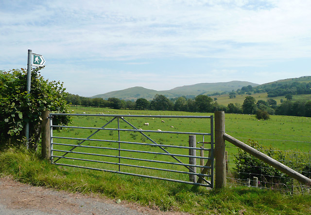
Image: © Roger D Kidd Taken: 24 Jul 2008
The public footpaths across the fields lead only to farmhouses, including Cyrtau and Trawscoed on the other side of the Afon Groes. The peaks on the skyline are Y Bryn (422m) and Garn Gron (541m).
Images are licensed for reuse under creativecommons.org/licenses/by-sa/2.0
Image Location
Latitude
52.226822
Longitude
-3.907222