Tytherington
Introduction
The photograph on this page of Tytherington by Colin Smith as part of the Geograph project.
The Geograph project started in 2005 with the aim of publishing, organising and preserving representative images for every square kilometre of Great Britain, Ireland and the Isle of Man.

There are currently over 7.5m images from over 14,400 individuals and you can help contribute to the project by visiting https://www.geograph.org.uk
Tytherington
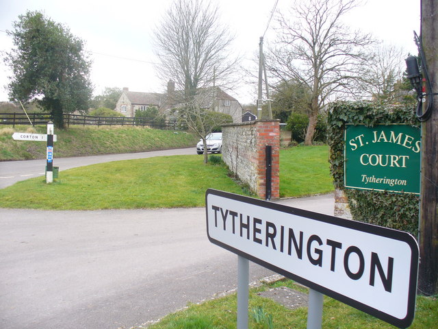
Image: © Colin Smith Taken: 25 Feb 2009
The centre of the sleepy village of Tytherington where three minor roads meet. Large stone houses are common.
Images are licensed for reuse under creativecommons.org/licenses/by-sa/2.0
Image Location
Latitude
51.168989
Longitude
-2.121667