Bridleway to Winterbourne Earls
Introduction
The photograph on this page of Bridleway to Winterbourne Earls by Maigheach-gheal as part of the Geograph project.
The Geograph project started in 2005 with the aim of publishing, organising and preserving representative images for every square kilometre of Great Britain, Ireland and the Isle of Man.

There are currently over 7.5m images from over 14,400 individuals and you can help contribute to the project by visiting https://www.geograph.org.uk
Bridleway to Winterbourne Earls
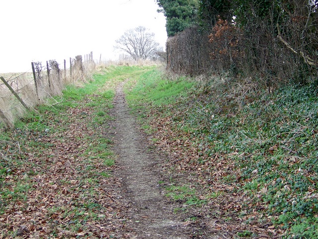
Image: © Maigheach-gheal Taken: 26 Feb 2009
The bridleway crosses the A354 on its way from the Woodford Valley at this point. It is also part of the Monarchs Way.
Images are licensed for reuse under creativecommons.org/licenses/by-sa/2.0
Image Location
Latitude
51.111048
Longitude
-1.79139