Terraced Houses - Higher Odcombe
Introduction
The photograph on this page of Terraced Houses - Higher Odcombe by Sarah Smith as part of the Geograph project.
The Geograph project started in 2005 with the aim of publishing, organising and preserving representative images for every square kilometre of Great Britain, Ireland and the Isle of Man.

There are currently over 7.5m images from over 14,400 individuals and you can help contribute to the project by visiting https://www.geograph.org.uk
Terraced Houses - Higher Odcombe
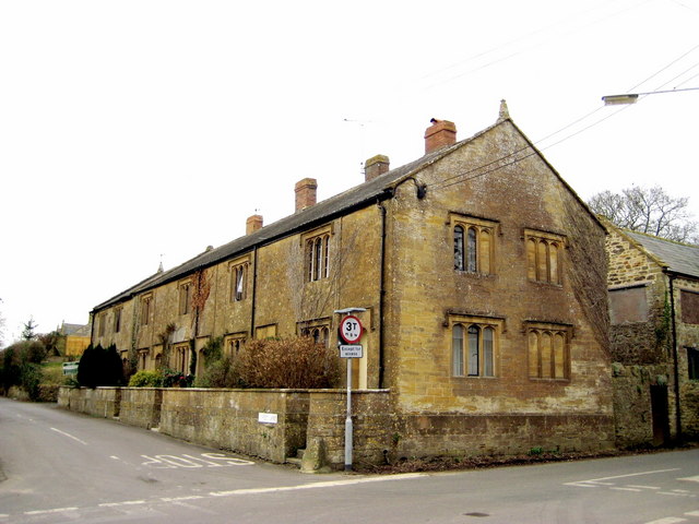
Image: © Sarah Smith Taken: 26 Feb 2009
Situated just on the corner with Ham Hill Road and Street Lane, these old houses appear to be almshouses.
Images are licensed for reuse under creativecommons.org/licenses/by-sa/2.0
Image Location
Latitude
50.936096
Longitude
-2.704683