2009 : Pond by Chippenham Lane
Introduction
The photograph on this page of 2009 : Pond by Chippenham Lane by Maurice Pullin as part of the Geograph project.
The Geograph project started in 2005 with the aim of publishing, organising and preserving representative images for every square kilometre of Great Britain, Ireland and the Isle of Man.

There are currently over 7.5m images from over 14,400 individuals and you can help contribute to the project by visiting https://www.geograph.org.uk
2009 : Pond by Chippenham Lane
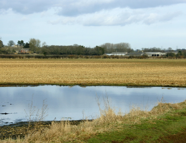
Image: © Maurice Pullin Taken: 16 Feb 2009
At first sight this water appeared to be due to flooding, closer inspection suggested it was more permanent though it may disappear during dry weather. Sheldon Manor is to the left with Sheldon Farm on the right.
Images are licensed for reuse under creativecommons.org/licenses/by-sa/2.0
Image Location
Latitude
51.461428
Longitude
-2.171672