Farmland in Upholland
Introduction
The photograph on this page of Farmland in Upholland by Gary Rogers as part of the Geograph project.
The Geograph project started in 2005 with the aim of publishing, organising and preserving representative images for every square kilometre of Great Britain, Ireland and the Isle of Man.

There are currently over 7.5m images from over 14,400 individuals and you can help contribute to the project by visiting https://www.geograph.org.uk
Farmland in Upholland
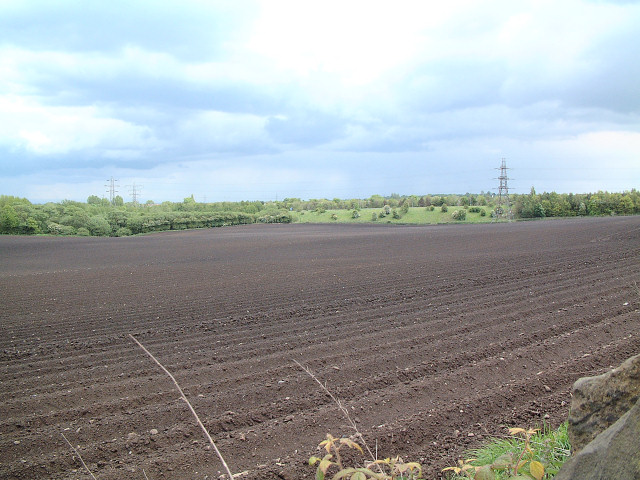
Image: © Gary Rogers Taken: 22 May 2005
Taken from SD523048 looking south east towards the M58 motorway embankment.
Images are licensed for reuse under creativecommons.org/licenses/by-sa/2.0
Image Location


Leaflet Map data © OpenStreetMap
Latitude
53.534992
Longitude
-2.718134