Belph
Introduction
The photograph on this page of Belph by Tim Heaton as part of the Geograph project.
The Geograph project started in 2005 with the aim of publishing, organising and preserving representative images for every square kilometre of Great Britain, Ireland and the Isle of Man.

There are currently over 7.5m images from over 14,400 individuals and you can help contribute to the project by visiting https://www.geograph.org.uk
Belph
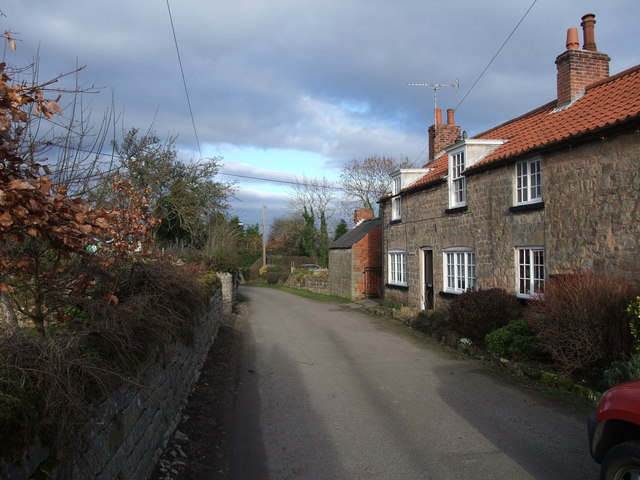
Image: © Tim Heaton Taken: 22 Feb 2009
Hamlet, with buildings of the local magnesian limestone, forming a small Conservation Area. For details and history http://www.bolsover.gov.uk/pdf/Belph%20CAA&MP%20-%20consultation%20draft.pdf
Images are licensed for reuse under creativecommons.org/licenses/by-sa/2.0
Image Location
Latitude
53.273953
Longitude
-1.182849