Trees and pond, Manor Farm, Arminghall
Introduction
The photograph on this page of Trees and pond, Manor Farm, Arminghall by Katy Walters as part of the Geograph project.
The Geograph project started in 2005 with the aim of publishing, organising and preserving representative images for every square kilometre of Great Britain, Ireland and the Isle of Man.

There are currently over 7.5m images from over 14,400 individuals and you can help contribute to the project by visiting https://www.geograph.org.uk
Trees and pond, Manor Farm, Arminghall
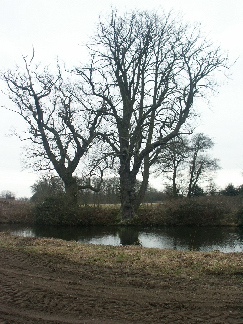
Image: © Katy Walters Taken: 5 Feb 2006
Sadly not the manor house moat, which is inaccessible.
Images are licensed for reuse under creativecommons.org/licenses/by-sa/2.0
Image Location
Latitude
52.594536
Longitude
1.31854