River Alt, Croxteth
Introduction
The photograph on this page of River Alt, Croxteth by S Parish as part of the Geograph project.
The Geograph project started in 2005 with the aim of publishing, organising and preserving representative images for every square kilometre of Great Britain, Ireland and the Isle of Man.

There are currently over 7.5m images from over 14,400 individuals and you can help contribute to the project by visiting https://www.geograph.org.uk
River Alt, Croxteth
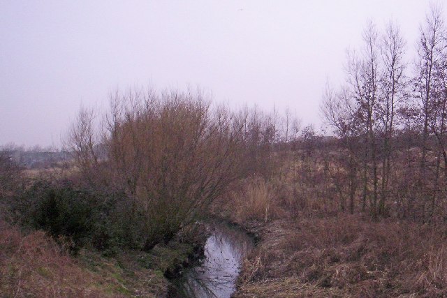
Image: © S Parish Taken: 2 Feb 2006
This river rises in Huyton and 28km later falls into the Mersey estuary at Formby Bank.
Images are licensed for reuse under creativecommons.org/licenses/by-sa/2.0
Image Location
Latitude
53.455532
Longitude
-2.903534