Erosion by Water
Introduction
The photograph on this page of Erosion by Water by Anne Burgess as part of the Geograph project.
The Geograph project started in 2005 with the aim of publishing, organising and preserving representative images for every square kilometre of Great Britain, Ireland and the Isle of Man.

There are currently over 7.5m images from over 14,400 individuals and you can help contribute to the project by visiting https://www.geograph.org.uk
Erosion by Water
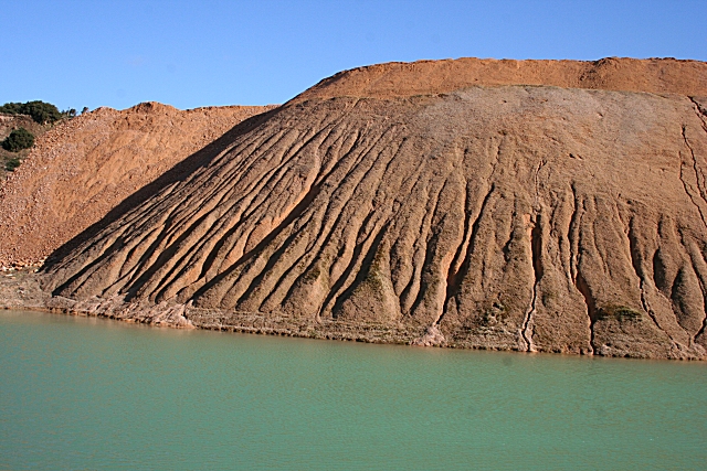
Image: © Anne Burgess Taken: 25 Feb 2009
Run-off from rain and snow has carved these gullies in the spoil heaps at Cairdshill Quarry. The water level in the pond is unusually high following recent snow-melt.
Images are licensed for reuse under creativecommons.org/licenses/by-sa/2.0
Image Location
Latitude
57.520884
Longitude
-2.931413