Big Hammer by River Brock
Introduction
The photograph on this page of Big Hammer by River Brock by Bob Jenkins as part of the Geograph project.
The Geograph project started in 2005 with the aim of publishing, organising and preserving representative images for every square kilometre of Great Britain, Ireland and the Isle of Man.

There are currently over 7.5m images from over 14,400 individuals and you can help contribute to the project by visiting https://www.geograph.org.uk
Big Hammer by River Brock
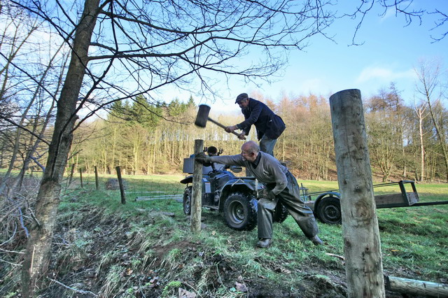
Image: © Bob Jenkins Taken: 25 Feb 2009
The field behind has an obvious route through it more so than but the public footpath which actually follows the river bank. The men are erecting a fence and gateways to guide the wandering public - including Geographers.
Images are licensed for reuse under creativecommons.org/licenses/by-sa/2.0
Image Location


Leaflet Map data © OpenStreetMap
Latitude
53.886604
Longitude
-2.689157