Brookfield Burial Ground
Introduction
The photograph on this page of Brookfield Burial Ground by Gerald England as part of the Geograph project.
The Geograph project started in 2005 with the aim of publishing, organising and preserving representative images for every square kilometre of Great Britain, Ireland and the Isle of Man.

There are currently over 7.5m images from over 14,400 individuals and you can help contribute to the project by visiting https://www.geograph.org.uk
Brookfield Burial Ground
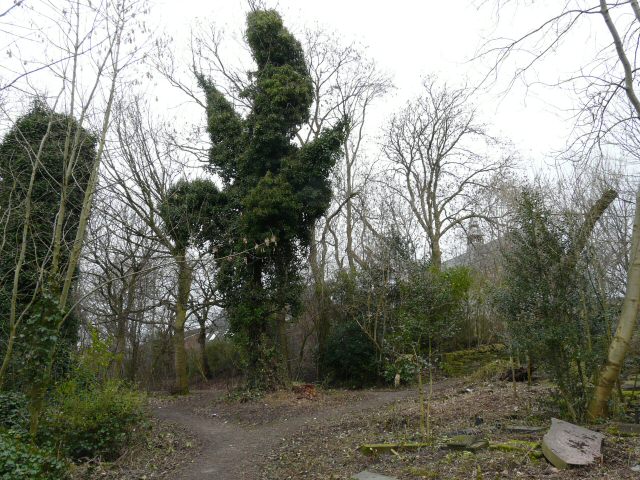
Image: © Gerald England Taken: 25 Feb 2009
Behind Brookfield Church many gravestones lie open on the ground. In the background can be seen the old Sunday School.
Images are licensed for reuse under creativecommons.org/licenses/by-sa/2.0
Image Location
Latitude
53.45955
Longitude
-2.168943