The Nolly Bridge
Introduction
The photograph on this page of The Nolly Bridge by Thomas Nugent as part of the Geograph project.
The Geograph project started in 2005 with the aim of publishing, organising and preserving representative images for every square kilometre of Great Britain, Ireland and the Isle of Man.

There are currently over 7.5m images from over 14,400 individuals and you can help contribute to the project by visiting https://www.geograph.org.uk
The Nolly Bridge
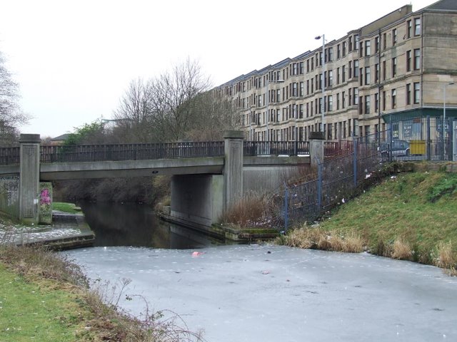
Image: © Thomas Nugent Taken: 13 Feb 2009
Carries Firhill Road over the Forth and Clyde canal at the west end of Firhill Basin. Built in 1990, with traces of Charles Rennie Mackintosh design. Murano Street is to the right.
Images are licensed for reuse under creativecommons.org/licenses/by-sa/2.0
Image Location
Latitude
55.882899
Longitude
-4.271203