Looking Down to Heighton Farm
Introduction
The photograph on this page of Looking Down to Heighton Farm by Simon Carey as part of the Geograph project.
The Geograph project started in 2005 with the aim of publishing, organising and preserving representative images for every square kilometre of Great Britain, Ireland and the Isle of Man.

There are currently over 7.5m images from over 14,400 individuals and you can help contribute to the project by visiting https://www.geograph.org.uk
Looking Down to Heighton Farm
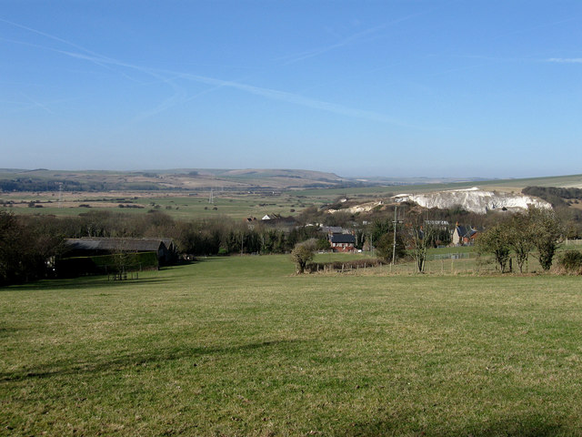
Image: © Simon Carey Taken: 21 Feb 2009
Taken from the track that links South Heighton to Beddingham Hill. The former Heighton chalk pits are to the right whilst the Ouse flood plain can be seen beyond.
Images are licensed for reuse under creativecommons.org/licenses/by-sa/2.0
Image Location
Latitude
50.809126
Longitude
0.057076