River Wiske
Introduction
The photograph on this page of River Wiske by David Rogers as part of the Geograph project.
The Geograph project started in 2005 with the aim of publishing, organising and preserving representative images for every square kilometre of Great Britain, Ireland and the Isle of Man.

There are currently over 7.5m images from over 14,400 individuals and you can help contribute to the project by visiting https://www.geograph.org.uk
River Wiske
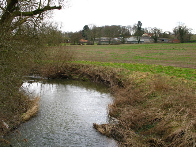
Image: © David Rogers Taken: 23 Feb 2009
View from Howden Bridge looking towards Hall Farm at Warlaby. The river moves in to gridsquare SE3591 as it bends left in this shot.
Images are licensed for reuse under creativecommons.org/licenses/by-sa/2.0
Image Location
Latitude
54.322379
Longitude
-1.461712