Betton village
Introduction
The photograph on this page of Betton village by Simon Huguet as part of the Geograph project.
The Geograph project started in 2005 with the aim of publishing, organising and preserving representative images for every square kilometre of Great Britain, Ireland and the Isle of Man.

There are currently over 7.5m images from over 14,400 individuals and you can help contribute to the project by visiting https://www.geograph.org.uk
Betton village
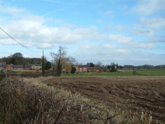
Image: © Simon Huguet Taken: 21 Feb 2009
The small village of Betton. The barns on the left have been converted to residential use.
Images are licensed for reuse under creativecommons.org/licenses/by-sa/2.0
Image Location
Latitude
52.926096
Longitude
-2.46049