House on the B5270
Introduction
The photograph on this page of House on the B5270 by Bob Jenkins as part of the Geograph project.
The Geograph project started in 2005 with the aim of publishing, organising and preserving representative images for every square kilometre of Great Britain, Ireland and the Isle of Man.

There are currently over 7.5m images from over 14,400 individuals and you can help contribute to the project by visiting https://www.geograph.org.uk
House on the B5270
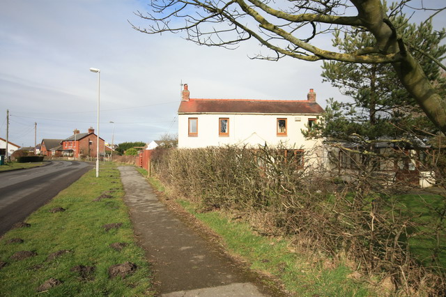
Image: © Bob Jenkins Taken: 23 Feb 2009
The unusual feature of this house is its orientation to the road - it was in fact lined up to the old Garstang and Knott End Railway, and therefore was probably associated with it.
Images are licensed for reuse under creativecommons.org/licenses/by-sa/2.0
Image Location
Latitude
53.919791
Longitude
-2.960734