Lane from Ivinghoe Aston
Introduction
The photograph on this page of Lane from Ivinghoe Aston by Rob Farrow as part of the Geograph project.
The Geograph project started in 2005 with the aim of publishing, organising and preserving representative images for every square kilometre of Great Britain, Ireland and the Isle of Man.

There are currently over 7.5m images from over 14,400 individuals and you can help contribute to the project by visiting https://www.geograph.org.uk
Lane from Ivinghoe Aston
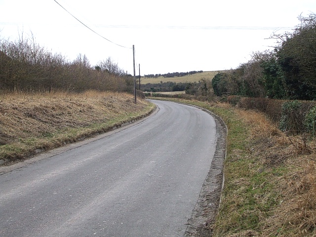
Image: © Rob Farrow Taken: 22 Feb 2009
Taken from just outside the gated entrance to a quarry looking southeastwards along the lane which links Ivinghoe Aston with the B489.
Images are licensed for reuse under creativecommons.org/licenses/by-sa/2.0
Image Location
Latitude
51.847122
Longitude
-0.606753