Oxfordshire Way to Park Farm House
Introduction
The photograph on this page of Oxfordshire Way to Park Farm House by David Hawgood as part of the Geograph project.
The Geograph project started in 2005 with the aim of publishing, organising and preserving representative images for every square kilometre of Great Britain, Ireland and the Isle of Man.

There are currently over 7.5m images from over 14,400 individuals and you can help contribute to the project by visiting https://www.geograph.org.uk
Oxfordshire Way to Park Farm House
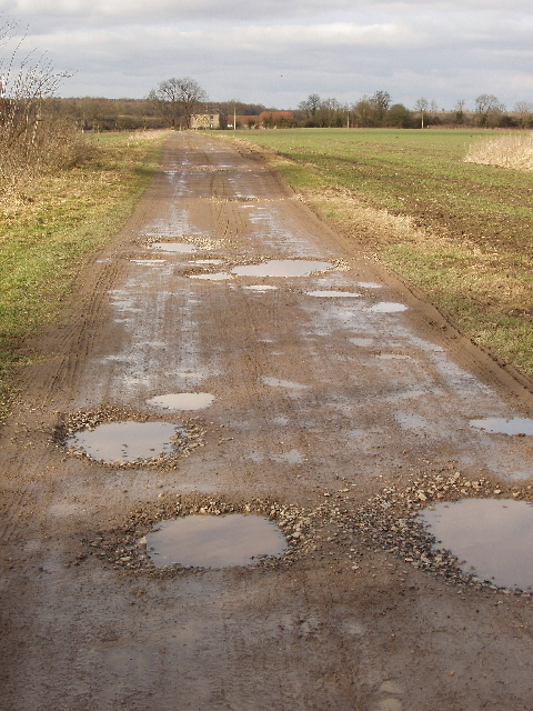
Image: © David Hawgood Taken: 20 Feb 2009
The long distance footpath goes across the field on the track, then turns left onto another footpath in front of the house.
Images are licensed for reuse under creativecommons.org/licenses/by-sa/2.0
Image Location
Latitude
51.770516
Longitude
-1.106216