"Other route with public access" to Waterperry Common
Introduction
The photograph on this page of "Other route with public access" to Waterperry Common by David Hawgood as part of the Geograph project.
The Geograph project started in 2005 with the aim of publishing, organising and preserving representative images for every square kilometre of Great Britain, Ireland and the Isle of Man.

There are currently over 7.5m images from over 14,400 individuals and you can help contribute to the project by visiting https://www.geograph.org.uk
"Other route with public access" to Waterperry Common
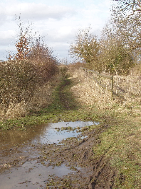
Image: © David Hawgood Taken: 20 Feb 2009
This track probably has a right of access by motor vehicle - but you are not recommended to try. A local horseman told me it had not been used by vehicles for 20 years, and you could probably get through with a quad bike but not with a car. For routes like this, marked as "other route with public access" on the Ordnance Survey map, it is necessary to contact the highways authority to establish what rights exist. For the other end of the route see Image
Images are licensed for reuse under creativecommons.org/licenses/by-sa/2.0
Image Location
Latitude
51.769893
Longitude
-1.107098