The Salvation Army Church
Introduction
The photograph on this page of The Salvation Army Church by David Anstiss as part of the Geograph project.
The Geograph project started in 2005 with the aim of publishing, organising and preserving representative images for every square kilometre of Great Britain, Ireland and the Isle of Man.

There are currently over 7.5m images from over 14,400 individuals and you can help contribute to the project by visiting https://www.geograph.org.uk
The Salvation Army Church
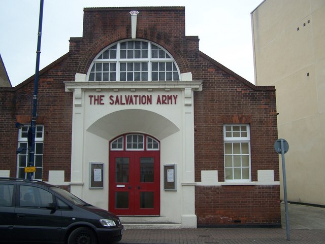
Image: © David Anstiss Taken: 15 Feb 2009
On Hythe Street. Has several dedication foundation blocks. The one closest to the door on left reads "This stone was laid by Councillor F.S.Putland Chairman U.D.C. 20th July 1912". The dedication block on the right of the door reads "This stone was laid by the Bandmaster on behalf of the Band 20th July 1912".
Images are licensed for reuse under creativecommons.org/licenses/by-sa/2.0
Image Location
Latitude
51.446362
Longitude
0.216407