Whetstone Stray
Introduction
The photograph on this page of Whetstone Stray by Martin Addison as part of the Geograph project.
The Geograph project started in 2005 with the aim of publishing, organising and preserving representative images for every square kilometre of Great Britain, Ireland and the Isle of Man.

There are currently over 7.5m images from over 14,400 individuals and you can help contribute to the project by visiting https://www.geograph.org.uk
Whetstone Stray
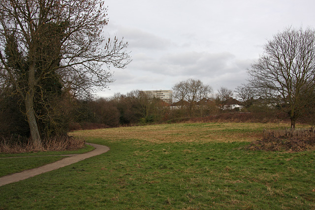
Image: © Martin Addison Taken: 20 Feb 2009
Looking towards Whetstone itself with 1255 High Road, Barnet's council offices, visible through the trees. The footpath forms part of the Dollis Valley Green Walk.
Images are licensed for reuse under creativecommons.org/licenses/by-sa/2.0
Image Location
Latitude
51.626942
Longitude
-0.181379