Laurel View Leading to Laurel Way
Introduction
The photograph on this page of Laurel View Leading to Laurel Way by Martin Addison as part of the Geograph project.
The Geograph project started in 2005 with the aim of publishing, organising and preserving representative images for every square kilometre of Great Britain, Ireland and the Isle of Man.

There are currently over 7.5m images from over 14,400 individuals and you can help contribute to the project by visiting https://www.geograph.org.uk
Laurel View Leading to Laurel Way
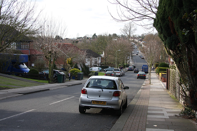
Image: © Martin Addison Taken: 20 Feb 2009
Looking down into the Dollis Valley and back up the other side! I believe the road name changes at the bridge over the brook.
Images are licensed for reuse under creativecommons.org/licenses/by-sa/2.0
Image Location
Latitude
51.623407
Longitude
-0.185421