Church Path
Introduction
The photograph on this page of Church Path by Martin Addison as part of the Geograph project.
The Geograph project started in 2005 with the aim of publishing, organising and preserving representative images for every square kilometre of Great Britain, Ireland and the Isle of Man.

There are currently over 7.5m images from over 14,400 individuals and you can help contribute to the project by visiting https://www.geograph.org.uk
Church Path
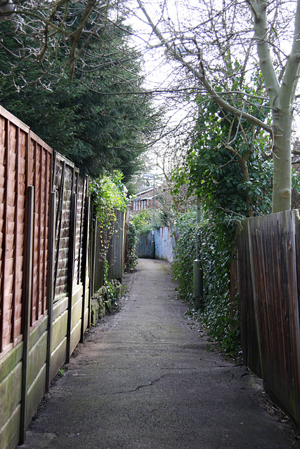
Image: © Martin Addison Taken: 20 Feb 2009
Looking along this lengthy footpath towards Avenue Road from Woodside Grove. The path runs from Nether Street between the back gardens to the A1000 north of the old Swan and Pyramids public house in southern Whetstone. Which church the name refers to is not recorded.
Images are licensed for reuse under creativecommons.org/licenses/by-sa/2.0
Image Location
Latitude
51.622046
Longitude
-0.17883