2009 : Ploughed field east of Bowden Hill
Introduction
The photograph on this page of 2009 : Ploughed field east of Bowden Hill by Maurice Pullin as part of the Geograph project.
The Geograph project started in 2005 with the aim of publishing, organising and preserving representative images for every square kilometre of Great Britain, Ireland and the Isle of Man.

There are currently over 7.5m images from over 14,400 individuals and you can help contribute to the project by visiting https://www.geograph.org.uk
2009 : Ploughed field east of Bowden Hill
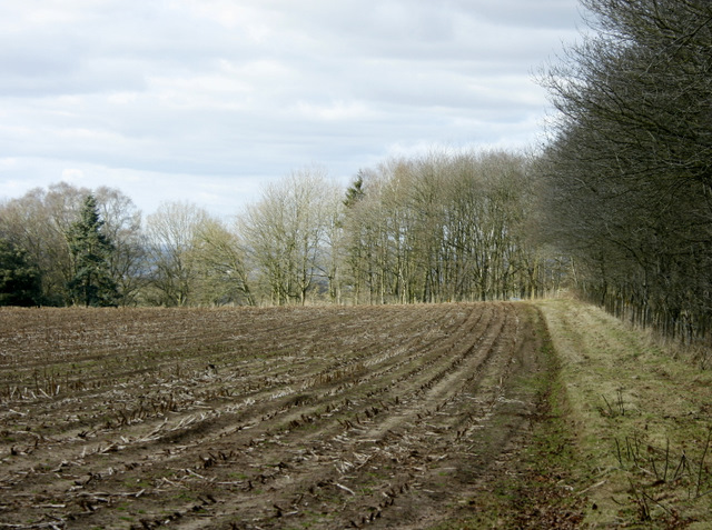
Image: © Maurice Pullin Taken: 22 Feb 2009
And south of Derry Hill. Both are just over a mile away. Looks like maize stalks from the previous crop, the next is likely to be wheat or barley, oil seed rape would be showing by now.
Images are licensed for reuse under creativecommons.org/licenses/by-sa/2.0
Image Location
Latitude
51.416039
Longitude
-2.065523