Isle of Wight Lane, view northwestwards
Introduction
The photograph on this page of Isle of Wight Lane, view northwestwards by Rob Farrow as part of the Geograph project.
The Geograph project started in 2005 with the aim of publishing, organising and preserving representative images for every square kilometre of Great Britain, Ireland and the Isle of Man.

There are currently over 7.5m images from over 14,400 individuals and you can help contribute to the project by visiting https://www.geograph.org.uk
Isle of Wight Lane, view northwestwards
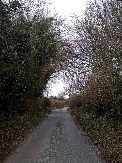
Image: © Rob Farrow Taken: 22 Feb 2009
Taken from next to Image] looking northwestwards along the curiously named Isle of Wight Lane. This lane links the village of Kensworth with the B4541 near Dunstable Downs. The view down this lane in the opposite direction can be seen in Image]
Images are licensed for reuse under creativecommons.org/licenses/by-sa/2.0
Image Location
Latitude
51.862526
Longitude
-0.527855