Pedestrian crossing along Olney High Street
Introduction
The photograph on this page of Pedestrian crossing along Olney High Street by Michael Trolove as part of the Geograph project.
The Geograph project started in 2005 with the aim of publishing, organising and preserving representative images for every square kilometre of Great Britain, Ireland and the Isle of Man.

There are currently over 7.5m images from over 14,400 individuals and you can help contribute to the project by visiting https://www.geograph.org.uk
Pedestrian crossing along Olney High Street
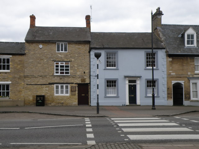
Image: © Michael Trolove Taken: 22 Feb 2009
Several houses along Olney high street have been converted from shops and buisneses , so we have The Old Bakery or the Old Forge. How long before we see the Old Nokia or the Old Spar as house names along any town high street.
Images are licensed for reuse under creativecommons.org/licenses/by-sa/2.0
Image Location
Latitude
52.15606
Longitude
-0.700916