Bournemouth, East Avenue
Introduction
The photograph on this page of Bournemouth, East Avenue by Mike Faherty as part of the Geograph project.
The Geograph project started in 2005 with the aim of publishing, organising and preserving representative images for every square kilometre of Great Britain, Ireland and the Isle of Man.

There are currently over 7.5m images from over 14,400 individuals and you can help contribute to the project by visiting https://www.geograph.org.uk
Bournemouth, East Avenue
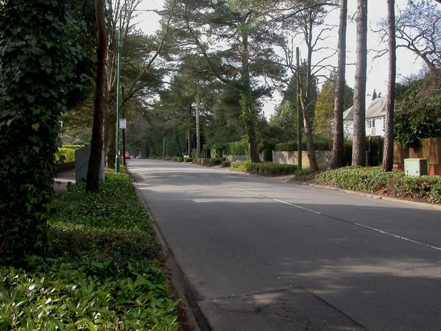
Image: © Mike Faherty Taken: 22 Feb 2009
East Avenue is a tree-lined road with 1920s detached houses, in Meyrick Park & Talbot Woods Conservation Area. For more information, see http://www.bournemouth.gov.uk/Library/PDF/Living/Planning/Environment/Conservation/MPTW_Appraisal/MPTW_3.pdf
Images are licensed for reuse under creativecommons.org/licenses/by-sa/2.0
Image Location
Latitude
50.733682
Longitude
-1.88829