Bournemouth, railway from Elgin Road
Introduction
The photograph on this page of Bournemouth, railway from Elgin Road by Mike Faherty as part of the Geograph project.
The Geograph project started in 2005 with the aim of publishing, organising and preserving representative images for every square kilometre of Great Britain, Ireland and the Isle of Man.

There are currently over 7.5m images from over 14,400 individuals and you can help contribute to the project by visiting https://www.geograph.org.uk
Bournemouth, railway from Elgin Road
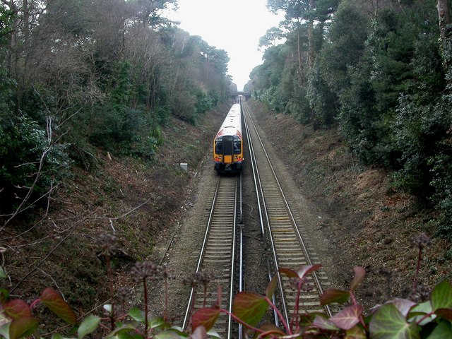
Image: © Mike Faherty Taken: 22 Feb 2009
Bournemouth-Poole railway line, as seen from Elgin Road bridge Image The line was opened in 1888; for history of Dorset's railways, see http://www.booty.org.uk/booty.weather/musings/East%20Dorset%20Railways.htm
Images are licensed for reuse under creativecommons.org/licenses/by-sa/2.0
Image Location
Latitude
50.733052
Longitude
-1.88815