Ballynahinch Rugby Club
Introduction
The photograph on this page of Ballynahinch Rugby Club by Willie Duffin as part of the Geograph project.
The Geograph project started in 2005 with the aim of publishing, organising and preserving representative images for every square kilometre of Great Britain, Ireland and the Isle of Man.

There are currently over 7.5m images from over 14,400 individuals and you can help contribute to the project by visiting https://www.geograph.org.uk
Ballynahinch Rugby Club
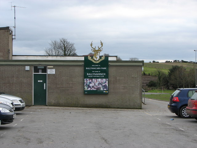
Image: © Willie Duffin Taken: 21 Feb 2009
The sign on the end of Ballynahinch R.F.C. clubhouse. The door on the left leads into the changing rooms.The ground is known as Ballymacarn Park.
Images are licensed for reuse under creativecommons.org/licenses/by-sa/2.0
Image Location
Latitude
54.384591
Longitude
-5.916629