Avis Way
Introduction
The photograph on this page of Avis Way by Simon Carey as part of the Geograph project.
The Geograph project started in 2005 with the aim of publishing, organising and preserving representative images for every square kilometre of Great Britain, Ireland and the Isle of Man.

There are currently over 7.5m images from over 14,400 individuals and you can help contribute to the project by visiting https://www.geograph.org.uk
Avis Way
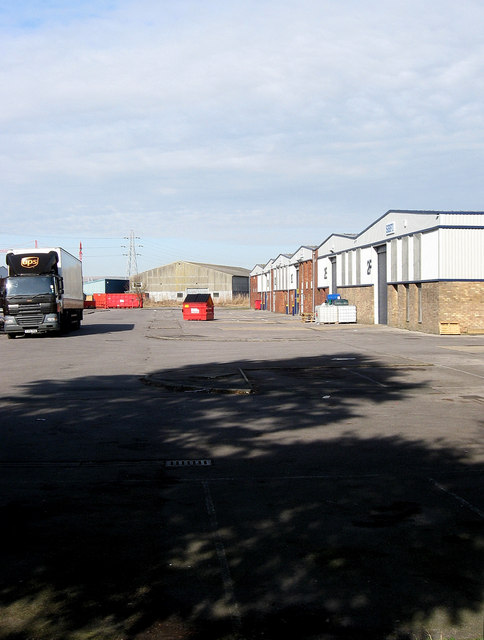
Image: © Simon Carey Taken: 21 Feb 2009
Part of the industrial estate that was built after the Second World War in the triangle of land bounded by New Road in the West, Avis Road in the east and the A259 to the south. This part is actually a dead end taken from a small gap in the trees which separate it from The Drove.
Images are licensed for reuse under creativecommons.org/licenses/by-sa/2.0
Image Location
Latitude
50.797785
Longitude
0.057572