Heddon Law
Introduction
The photograph on this page of Heddon Law by Andrew Curtis as part of the Geograph project.
The Geograph project started in 2005 with the aim of publishing, organising and preserving representative images for every square kilometre of Great Britain, Ireland and the Isle of Man.

There are currently over 7.5m images from over 14,400 individuals and you can help contribute to the project by visiting https://www.geograph.org.uk
Heddon Law
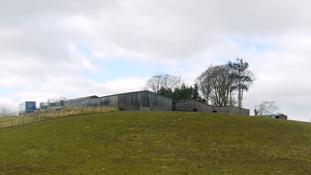
Image: © Andrew Curtis Taken: 22 Feb 2009
The hill is topped by several large farm buildings, a bronze age cairn, trig point, a copse of trees and a mobile phone aerial disguised as another tree.
Images are licensed for reuse under creativecommons.org/licenses/by-sa/2.0
Image Location
Latitude
55.018365
Longitude
-1.781722