Drove Road
Introduction
The photograph on this page of Drove Road by Simon Carey as part of the Geograph project.
The Geograph project started in 2005 with the aim of publishing, organising and preserving representative images for every square kilometre of Great Britain, Ireland and the Isle of Man.

There are currently over 7.5m images from over 14,400 individuals and you can help contribute to the project by visiting https://www.geograph.org.uk
Drove Road
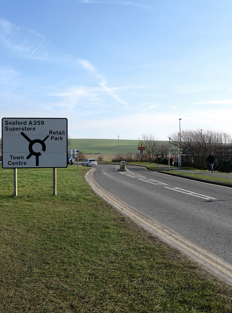
Image: © Simon Carey Taken: 21 Feb 2009
The original course of the A259 until the 1970s when the flyover was built to take traffic over the A26 and its lorry traffic from the port, the level crossing next to Newhaven Town station and a new swing bridge over the Ouse. Now a connecting road for traffic leaving the port or New Road wishing to travel east.
Images are licensed for reuse under creativecommons.org/licenses/by-sa/2.0
Image Location
Latitude
50.796522
Longitude
0.0578