Footpath heading SW towards Laughton House
Introduction
The photograph on this page of Footpath heading SW towards Laughton House by Dave Spicer as part of the Geograph project.
The Geograph project started in 2005 with the aim of publishing, organising and preserving representative images for every square kilometre of Great Britain, Ireland and the Isle of Man.

There are currently over 7.5m images from over 14,400 individuals and you can help contribute to the project by visiting https://www.geograph.org.uk
Footpath heading SW towards Laughton House
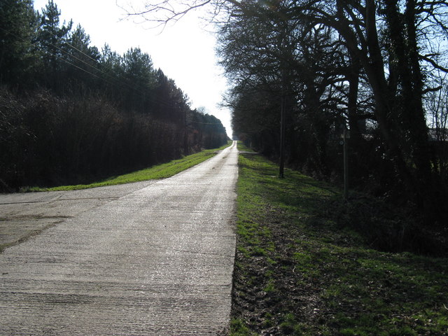
Image: © Dave Spicer Taken: 21 Feb 2009
The concrete road (footpath) continues NE until just past Laughton Park Farm where it becomes a grass path Image
Images are licensed for reuse under creativecommons.org/licenses/by-sa/2.0
Image Location
Latitude
50.911552
Longitude
0.13286