Bridleway from A354
Introduction
The photograph on this page of Bridleway from A354 by Maigheach-gheal as part of the Geograph project.
The Geograph project started in 2005 with the aim of publishing, organising and preserving representative images for every square kilometre of Great Britain, Ireland and the Isle of Man.

There are currently over 7.5m images from over 14,400 individuals and you can help contribute to the project by visiting https://www.geograph.org.uk
Bridleway from A354
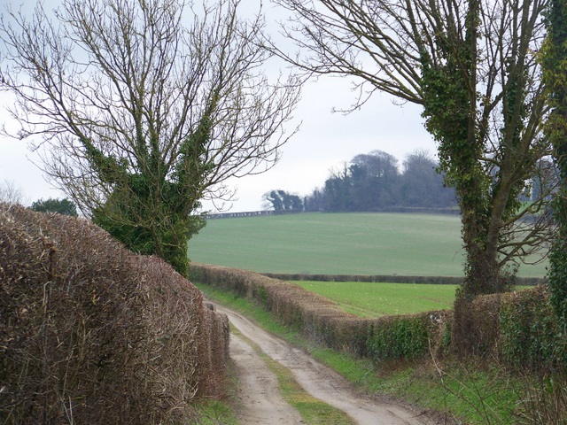
Image: © Maigheach-gheal Taken: 22 Feb 2009
The bridleway takes walkers and riders along Ward's Drove to Ward's Drove Cottages and on to Lower Blandford St Mary.
Images are licensed for reuse under creativecommons.org/licenses/by-sa/2.0
Image Location


Leaflet Map data © OpenStreetMap
Latitude
50.838453
Longitude
-2.177467