Lane north of Chudleigh Knighton
Introduction
The photograph on this page of Lane north of Chudleigh Knighton by Derek Harper as part of the Geograph project.
The Geograph project started in 2005 with the aim of publishing, organising and preserving representative images for every square kilometre of Great Britain, Ireland and the Isle of Man.

There are currently over 7.5m images from over 14,400 individuals and you can help contribute to the project by visiting https://www.geograph.org.uk
Lane north of Chudleigh Knighton
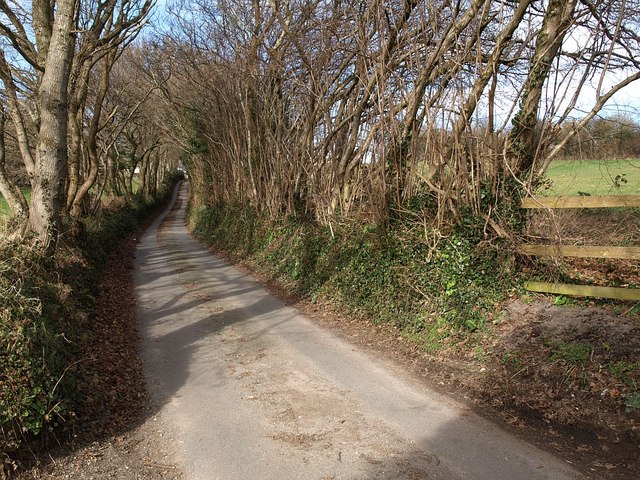
Image: © Derek Harper Taken: 17 Feb 2009
Seen from the edge of the built-up area. The lane climbs gently northwards - see Image - to reach Image
Images are licensed for reuse under creativecommons.org/licenses/by-sa/2.0
Image Location
Latitude
50.58686
Longitude
-3.632496