View NW from Coppice Lane
Introduction
The photograph on this page of View NW from Coppice Lane by Penny Mayes as part of the Geograph project.
The Geograph project started in 2005 with the aim of publishing, organising and preserving representative images for every square kilometre of Great Britain, Ireland and the Isle of Man.

There are currently over 7.5m images from over 14,400 individuals and you can help contribute to the project by visiting https://www.geograph.org.uk
View NW from Coppice Lane
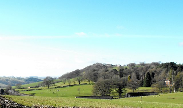
Image: © Penny Mayes Taken: 21 Feb 2009
The building on the right is Sylfaen. Hen Gwm Farm stands on the top of the ridge and lies just beyond the NW corner of the square. The road just visible lower left is the main A458 Welshpool to Dolgellau.
Images are licensed for reuse under creativecommons.org/licenses/by-sa/2.0
Image Location
Latitude
52.651371
Longitude
-3.238385