Ouse Estuary Nature Reserve
Introduction
The photograph on this page of Ouse Estuary Nature Reserve by Simon Carey as part of the Geograph project.
The Geograph project started in 2005 with the aim of publishing, organising and preserving representative images for every square kilometre of Great Britain, Ireland and the Isle of Man.

There are currently over 7.5m images from over 14,400 individuals and you can help contribute to the project by visiting https://www.geograph.org.uk
Ouse Estuary Nature Reserve
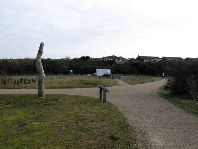
Image: © Simon Carey Taken: 21 Feb 2009
Acouple of the dedicated footpaths and cycleways join forces and the south eastern corner of the reserve. The path heading towards the photographer follows the course of the marked footpath on the map. A snack bar with its very own portaloo is located in a layby on the A259 Seaford Road whilst the houses in the Rookery Hill suburb of Bishopstone sit above the road on ancient sea cliffs.
Images are licensed for reuse under creativecommons.org/licenses/by-sa/2.0
Image Location
Latitude
50.78865
Longitude
0.070649