The Green
Introduction
The photograph on this page of The Green by Hugh Craddock as part of the Geograph project.
The Geograph project started in 2005 with the aim of publishing, organising and preserving representative images for every square kilometre of Great Britain, Ireland and the Isle of Man.

There are currently over 7.5m images from over 14,400 individuals and you can help contribute to the project by visiting https://www.geograph.org.uk
The Green
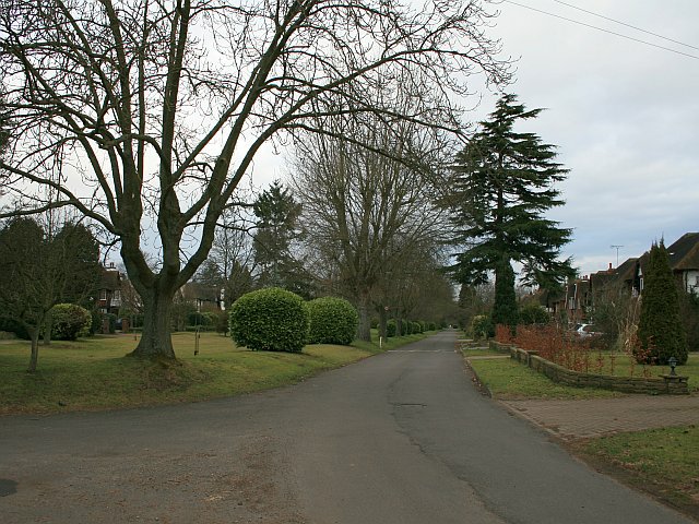
Image: © Hugh Craddock Taken: 22 Feb 2009
The Green, a private estate on the east side of Epsom, seen from the crossing of cyclepath/bridlepath 43. The Green is part of the Ewell Downs Road Conservation Area, developed from the late 1920s onwards by a local builder, Ernest Harwood, in a vernacular style. An 'article 4' direction means that local residents cannot make even the most minor changes to their homes (such as fitting new windows) without planning permission.
Images are licensed for reuse under creativecommons.org/licenses/by-sa/2.0
Image Location
Latitude
51.336853
Longitude
-0.246863