2009 : Station Road, Clutton
Introduction
The photograph on this page of 2009 : Station Road, Clutton by Maurice Pullin as part of the Geograph project.
The Geograph project started in 2005 with the aim of publishing, organising and preserving representative images for every square kilometre of Great Britain, Ireland and the Isle of Man.

There are currently over 7.5m images from over 14,400 individuals and you can help contribute to the project by visiting https://www.geograph.org.uk
2009 : Station Road, Clutton
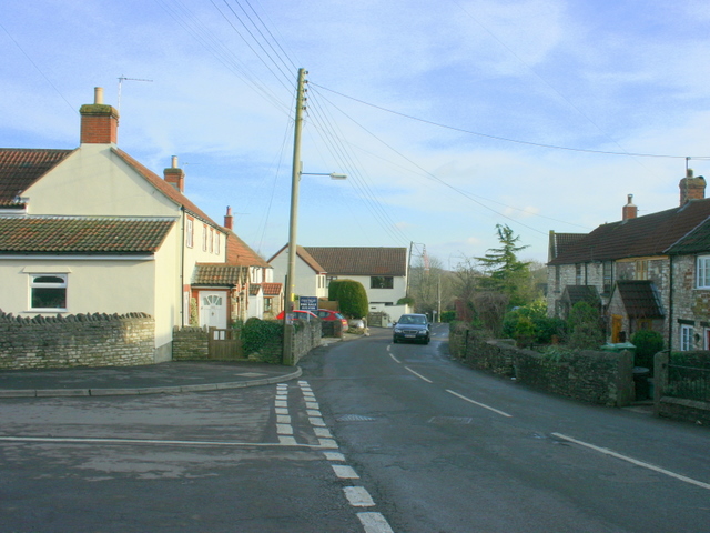
Image: © Maurice Pullin Taken: 13 Feb 2009
The station and the line have long been closed. ------------------------------------------------- Coal has been worked in North Somerset and the Bristol region for many centuries, and was possibly even being mined in the region during Roman times. Locally, mining was being carried out in Pensford and Stratton-on-the-Fosse by the end of the 17th century. In 1763 a deep coal seam was discovered in Radstock, and soon many other shafts were sunk in the surrounding villages. Pits in Radstock and Clandown had reached depths of over 1000 feet by the early 19th century. Demand for coal was at its peak during the early decades of the 20th century, but gradually demand fell for coal and the mines in the region closed one by one. Clutton had three pits in the vicinity – Burchells (sometimes spelt Burchills or Birchill's) Fry’s Bottom, and Greyfield. They belonged to the Earl of Warwick’s estate, which owned all the land in the parish of Clutton. The above was copied from: http://www.clutton.org.uk/index.html?/history.html which has much more of interest, I commend you to it.
Images are licensed for reuse under creativecommons.org/licenses/by-sa/2.0
Image Location
Latitude
51.330298
Longitude
-2.538187