River Teign at Chudleigh Knighton
Introduction
The photograph on this page of River Teign at Chudleigh Knighton by Derek Harper as part of the Geograph project.
The Geograph project started in 2005 with the aim of publishing, organising and preserving representative images for every square kilometre of Great Britain, Ireland and the Isle of Man.

There are currently over 7.5m images from over 14,400 individuals and you can help contribute to the project by visiting https://www.geograph.org.uk
River Teign at Chudleigh Knighton
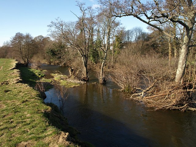
Image: © Derek Harper Taken: 17 Feb 2009
This view looks down a fairly straight stretch of river, trending slightly left, so I am not sure whether the row of trees marooned in mid stream represents a former line of the bank (they are not on the outside of a bend). If so, there has been some dramatic cutting back in recent years.
Images are licensed for reuse under creativecommons.org/licenses/by-sa/2.0
Image Location
Latitude
50.584901
Longitude
-3.624659