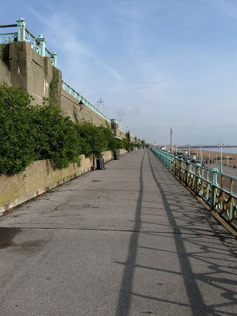
Madeira Terrace
Introduction
The photograph on this page of Madeira Terrace by Simon Carey as part of the Geograph project.
The Geograph project started in 2005 with the aim of publishing, organising and preserving representative images for every square kilometre of Great Britain, Ireland and the Isle of Man.
There are currently over 7.5m images from over 14,400 individuals and you can help contribute to the project by visiting https://www.geograph.org.uk

Image: © Simon Carey Taken: 20 Feb 2009
Constructed between 1890-97 and is 2387 foot in length and 25 foot in width extending from the Aquarium to Duke's Mound. The wall to the left is the sea-wall constructed in the 1830s along a section of low lying cliffs in order to prevent them from eroding. Madeira Drive below to the right often hosts speed trials and anything that runs from London-Brighton and on one occasion the Tour de France which enables Madeira Terrace to act as a lower grandstand beneath the railings on Marine Parade above.

