Heatherlea and Hook Farm
Introduction
The photograph on this page of Heatherlea and Hook Farm by Bob Embleton as part of the Geograph project.
The Geograph project started in 2005 with the aim of publishing, organising and preserving representative images for every square kilometre of Great Britain, Ireland and the Isle of Man.

There are currently over 7.5m images from over 14,400 individuals and you can help contribute to the project by visiting https://www.geograph.org.uk
Heatherlea and Hook Farm
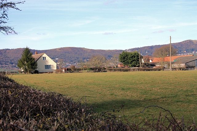
Image: © Bob Embleton Taken: 20 Feb 2009
Taken from the stile at the start of the footpath to Gilvers Lane. Lovely views of the Malvern Hills in the distance: Jubilee Hill Perseverance Hill to the left of the Wyche Cutting and Summer Hill on the right.
Images are licensed for reuse under creativecommons.org/licenses/by-sa/2.0
Image Location
Latitude
52.065066
Longitude
-2.27755