From Finsborough Ness towards Kingsnorth power station
Introduction
The photograph on this page of From Finsborough Ness towards Kingsnorth power station by Penny Mayes as part of the Geograph project.
The Geograph project started in 2005 with the aim of publishing, organising and preserving representative images for every square kilometre of Great Britain, Ireland and the Isle of Man.

There are currently over 7.5m images from over 14,400 individuals and you can help contribute to the project by visiting https://www.geograph.org.uk
From Finsborough Ness towards Kingsnorth power station
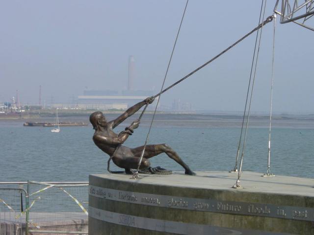
Image: © Penny Mayes Taken: 27 Mar 2003
Finsborough Ness is the north east point of St Mary's Island, Chatham Maritime. Once part of Chatham Naval Dockyard it is now a new residential development, part of the Thames Gateway regeneration project. See http://www.geograph.org.uk/photo/1173 for a view of the entire sculpture.
Images are licensed for reuse under creativecommons.org/licenses/by-sa/2.0
Image Location


Leaflet Map data © OpenStreetMap
Latitude
51.40669
Longitude
0.548669