Old colliery line SW of Dodworth
Introduction
The photograph on this page of Old colliery line SW of Dodworth by Chris Yeates as part of the Geograph project.
The Geograph project started in 2005 with the aim of publishing, organising and preserving representative images for every square kilometre of Great Britain, Ireland and the Isle of Man.

There are currently over 7.5m images from over 14,400 individuals and you can help contribute to the project by visiting https://www.geograph.org.uk
Old colliery line SW of Dodworth
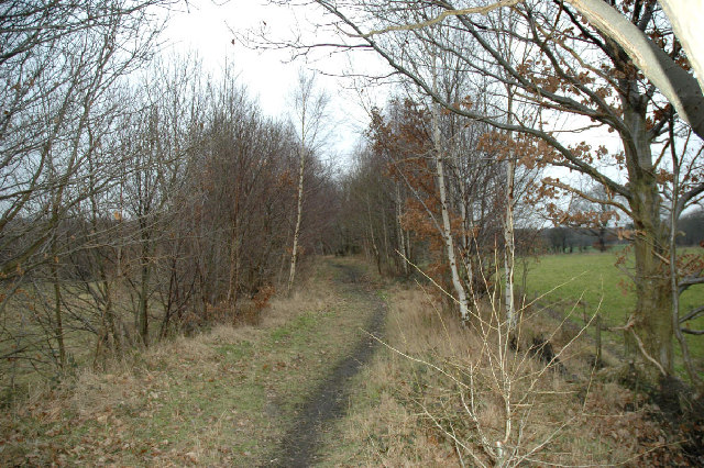
Image: © Chris Yeates Taken: 4 Feb 2006
The colliery itself is shown on the 1940s Ordnance Survey map, now it is just a memory.
Images are licensed for reuse under creativecommons.org/licenses/by-sa/2.0
Image Location
Latitude
53.532629
Longitude
-1.529255