2009 : West of south from Bloomfield Road
Introduction
The photograph on this page of 2009 : West of south from Bloomfield Road by Maurice Pullin as part of the Geograph project.
The Geograph project started in 2005 with the aim of publishing, organising and preserving representative images for every square kilometre of Great Britain, Ireland and the Isle of Man.

There are currently over 7.5m images from over 14,400 individuals and you can help contribute to the project by visiting https://www.geograph.org.uk
2009 : West of south from Bloomfield Road
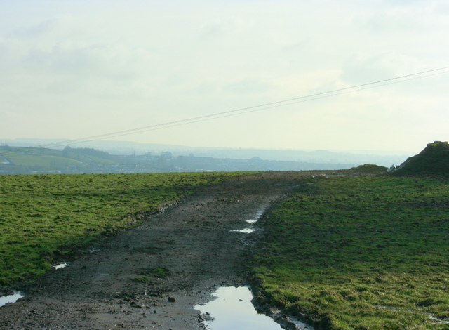
Image: © Maurice Pullin Taken: 13 Feb 2009
Looking toward Paulton and Midsomer Norton. The small hillock in the distance right of centre is a slag heap or batch from a disused coal mine.
Images are licensed for reuse under creativecommons.org/licenses/by-sa/2.0
Image Location
Latitude
51.332075
Longitude
-2.48108