School Road, Crookes
Introduction
The photograph on this page of School Road, Crookes by Dave Hitchborne as part of the Geograph project.
The Geograph project started in 2005 with the aim of publishing, organising and preserving representative images for every square kilometre of Great Britain, Ireland and the Isle of Man.

There are currently over 7.5m images from over 14,400 individuals and you can help contribute to the project by visiting https://www.geograph.org.uk
School Road, Crookes
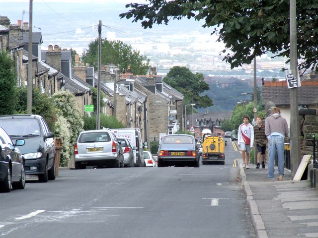
Image: © Dave Hitchborne Taken: 26 Aug 2008
Typically, the roads run steeply out of Crookes. This one drops down to Commonside and the route from Intake to Walkley, a former tramway.
Images are licensed for reuse under creativecommons.org/licenses/by-sa/2.0
Image Location
Latitude
53.383046
Longitude
-1.506009