Chapels and Monument, Muncaster
Introduction
The photograph on this page of Chapels and Monument, Muncaster by Bob Jenkins as part of the Geograph project.
The Geograph project started in 2005 with the aim of publishing, organising and preserving representative images for every square kilometre of Great Britain, Ireland and the Isle of Man.

There are currently over 7.5m images from over 14,400 individuals and you can help contribute to the project by visiting https://www.geograph.org.uk
Chapels and Monument, Muncaster
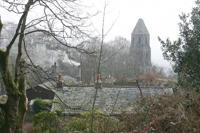
Image: © Bob Jenkins Taken: 4 Feb 2006
Above Chapel Woods. A "private" sign, fencing and wire prevent legal access from the track above. Muncaster Castle has a website, for further information.
Images are licensed for reuse under creativecommons.org/licenses/by-sa/2.0
Image Location
Latitude
54.365216
Longitude
-3.371276