School Road, Crookes
Introduction
The photograph on this page of School Road, Crookes by Dave Hitchborne as part of the Geograph project.
The Geograph project started in 2005 with the aim of publishing, organising and preserving representative images for every square kilometre of Great Britain, Ireland and the Isle of Man.

There are currently over 7.5m images from over 14,400 individuals and you can help contribute to the project by visiting https://www.geograph.org.uk
School Road, Crookes
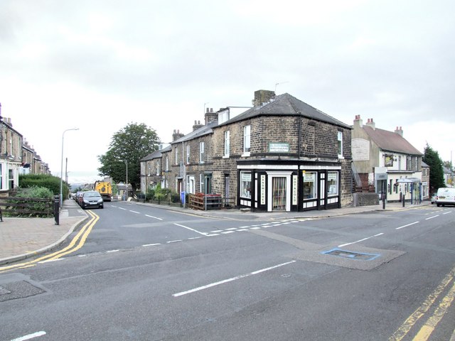
Image: © Dave Hitchborne Taken: 26 Aug 2008
This road, heading left off the main road, drops down to Commonside and the route from Intake to Walkley. The sign on the corner shops reads, R Hayman, Traditional Family Butcher. Back in the '60s it belonged to F Burrows & Sons. The yellow vehicle is a roadsweeper and draincleaner run by Colas the highway maintenance organisation.
Images are licensed for reuse under creativecommons.org/licenses/by-sa/2.0
Image Location
Latitude
53.382807
Longitude
-1.506959