Greenlaw Health Centre
Introduction
The photograph on this page of Greenlaw Health Centre by Walter Baxter as part of the Geograph project.
The Geograph project started in 2005 with the aim of publishing, organising and preserving representative images for every square kilometre of Great Britain, Ireland and the Isle of Man.

There are currently over 7.5m images from over 14,400 individuals and you can help contribute to the project by visiting https://www.geograph.org.uk
Greenlaw Health Centre
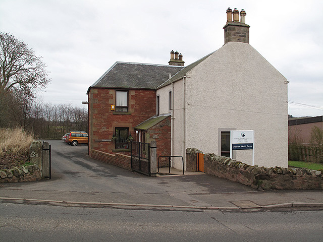
Image: © Walter Baxter Taken: 18 Feb 2009
This former schoolhouse in Duns Road was converted into a medical centre in 1988. The present facilities include 2 consulting rooms, a nurse practice room and a podiatry room.
Images are licensed for reuse under creativecommons.org/licenses/by-sa/2.0
Image Location
Latitude
55.708821
Longitude
-2.461481